High Rocks
The tallest and most atmospheric of the southern sandstone outcrops, a maze of mossy walls and canyons near Tunbridge Wells. Its shady faces hold the area's most celebrated hard problems and steepest walls, but the sheltered woodland setting means the soft rock stays green and damp for long periods. Strictly top-roping and soloing, and only when bone dry.
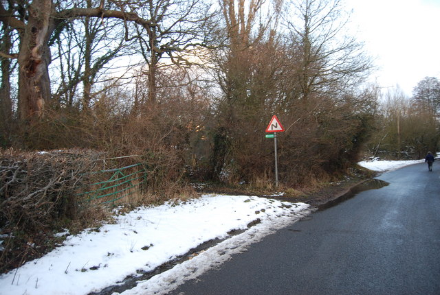
Conditions right now
Classics
| Route | Grade |
|---|---|
| Advertisement Wall | 5a |
| Infidel | 5c |
| Krait Arete | 6a |
Access & approach
Privately owned; entry fee payable at the gate (linked to the High Rocks inn) and opening hours apply. No leading, no chalk misuse, and absolutely no climbing on wet or damp rock.
Always check the BMC Regional Access Database (RAD)for current restrictions and seasonal bird bans before visiting. County: Kent. View on OpenStreetMap ↗
Photos
Freely-licensed photographs taken at or near the crag. Rock changes less than websites do, but check the date — an approach can silt up or a path can be diverted.
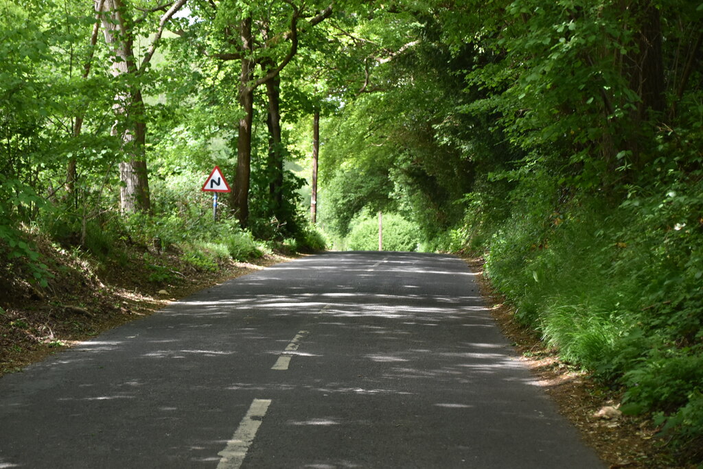
High Rocks Lane - geograph.org.uk - 6661655 · N Chadwick, CC BY-SA 2.0, via Wikimedia Commons 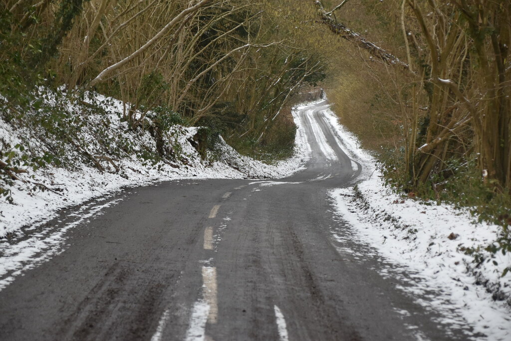
High Rocks Lane - geograph.org.uk - 6870675 · N Chadwick, CC BY-SA 2.0, via Wikimedia Commons

