Cheddar Gorge
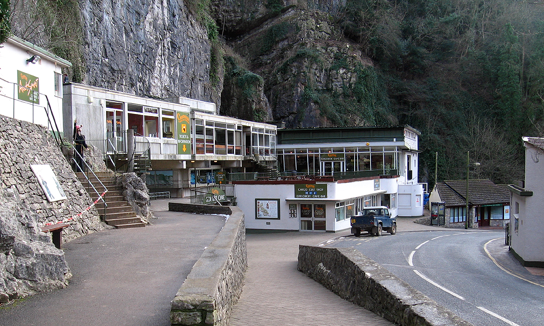
Britain's biggest inland limestone gorge, its 100m walls looming over the tourist road through the Mendips. Long, imposing trad routes - headlined by Bonington's Coronation Street - share the gorge with modern sport climbing on the upper tiers. The shady north-facing side is slow to dry but magnificent in summer.
Conditions right now
Classics
| Route | Grade |
|---|---|
| The Knight's Climb | S 4a |
| Sceptre | HVS 5a |
| Coronation Street | E1 5b |
Access & approach
Complex seasonal access: many south-side cliffs are closed to climbing during the tourist season and there are nesting restrictions - check the BMC RAD and Cheddar Gorge access agreements before visiting. Pay parking in the gorge.
Always check the BMC Regional Access Database (RAD)for current restrictions and seasonal bird bans before visiting. County: Somerset. View on OpenStreetMap ↗
Photos
Freely-licensed photographs taken at or near the crag. Rock changes less than websites do, but check the date — an approach can silt up or a path can be diverted.
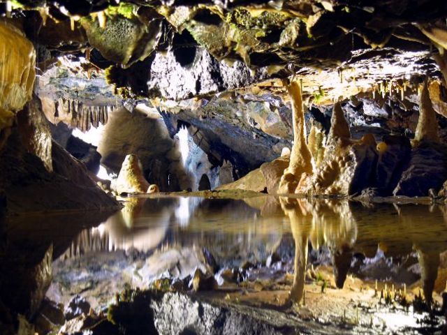
Miniature reflections in Gough's Cave - geograph.org.uk - 1232463 · Nigel Davies, CC BY-SA 2.0, via Wikimedia Commons 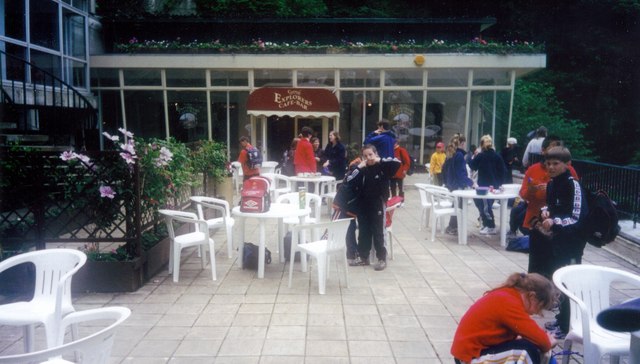
Cheddar , Explorers Cafe and Bar - geograph.org.uk - 1250249 · Lewis Clarke, CC BY-SA 2.0, via Wikimedia Commons 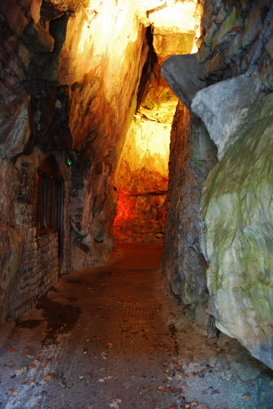
Cheddar, Illuminated Cave Entrance - geograph.org.uk - 2253414 · Mr Eugene Birchall, CC BY-SA 2.0, via Wikimedia Commons 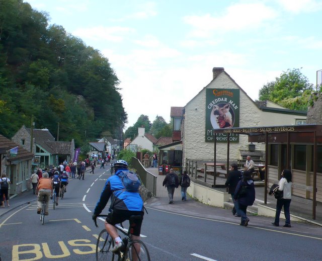
Cheddar Gorge - geograph.org.uk - 2629468 · Nigel Mykura, CC BY-SA 2.0, via Wikimedia Commons 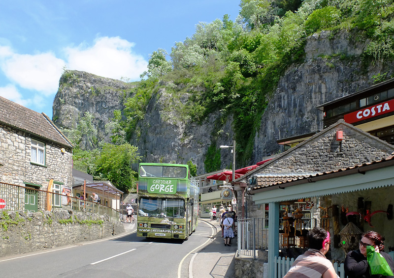
Cheesy Tourism, Cheddar Gorge - geograph.org.uk - 3589606 · Gary Rogers, CC BY-SA 2.0, via Wikimedia Commons


